
Trace Perinton Streets by Address
For a Perinton address, begin with the property location rather than a name. The Town assessment roll and Monroe County property tools connect a house number and selected street to a parcel. That parcel is the durable handoff between the map, assessment row, and deed index. Preserve the roll year, the full property location, and the tax-map identifier before opening a second record.
- Search the house number and select the official street name in the County property tool or Perinton roll.
- Record the parcel ID, property location, owner or mailing field, class, school district, assessment, and roll date.
- Identify that parcel in the Monroe County GIS viewer and inspect the road segment, boundaries, and adjacent parcel IDs.
- Use the parcel ID or legal description in the County Clerk index to check the dated conveyance trail.
- For older address evidence, ask the Historian, library, or Historical Society for a dated street file, directory, newspaper, or house file.
Each step answers a different question. An assessment row identifies a tax record. GIS supplies geometry. A deed establishes a legal transfer. A historical directory can place a household at an address at one point in time. Keep those labels intact instead of treating them as one current household record.
Perinton Street Address Layers
One Perinton street can carry several valid labels. The situs is the property location. The tax mailing address tells the assessor where correspondence goes. The postal city and ZIP describe delivery geography. The legal municipality distinguishes the Town from the Village of Fairport when that distinction matters. School, fire, and election districts add service geography. A Fairport mailing label does not by itself place an address inside the Village, and a neighboring postal label does not remove a parcel from Perinton.
Use the complete address as the search key, then preserve the labels returned by each custodian. A parcel can have a Perinton legal location, a Fairport mailing line, a neighboring ZIP, and a school or fire district with its own boundary. Those are not competing answers. They are separate ways government and postal systems describe the same place. Recording all five layers makes it easier to explain a result later and reduces mistakes caused by a name-only or postal-city search.
Write these layers in separate fields when comparing sources. The Town tax FAQ cautions that a deed or name change can take months to appear in assessor information. A newer deed and an older roll can therefore disagree without either record being fabricated. The County GIS map helps orient the parcel, while the Clerk record confirms the legal conveyance.
Search a Perinton Street Address
The address route begins with a required house number and a selected street-name option. Owner, ZIP, and parcel searches are useful narrowers, but they answer different questions. The Town lists final assessment-roll years from 2019 through 2026. Select the needed roll year before comparing values or names, because the return is a dated assessment snapshot.
| Perinton property field | How it is used | What to retain |
|---|---|---|
| House number and street | Required address path | Official selected street form |
| Owner, ZIP, or parcel | Optional alternate or narrowing path | Search value and roll year |
| Parcel or tax-map ID | GIS and Clerk cross-reference | Complete identifier |
| Property location and mailing address | Separates situs from correspondence | Both fields as displayed |
| Class, school, land, total assessment | Describes the tax record | Roll date and field labels |
The Perinton assessment portal page links to the County property system, which can compare up to 250 properties. That feature can help study a street segment, but the returned owner or mailing field remains a property-record lead, not proof of who is presently at the address.
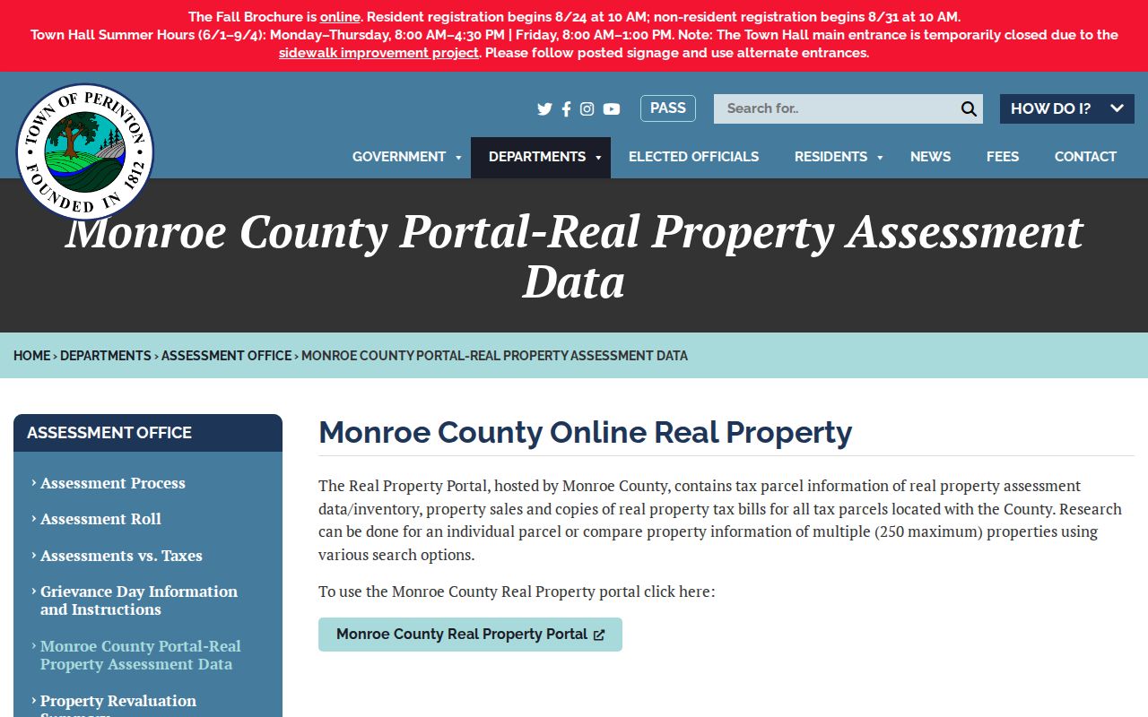
The portal lead is useful because it keeps the address search tied to a roll and parcel reference before any historical source is added.
Map a Perinton Street Parcel
Use the Monroe County Parcel Viewer after the property search, not instead of it. Zoom until individual polygons are clear, identify the subject parcel, and copy its tax-map ID. Then turn on only the layers needed for the task: Towns and Villages, ZIP, roads, aerial imagery, or a relevant school, fire, or election boundary. The ZIP layer is a polygon layer and is not configured as a text-searchable address layer.
GIS shows frontage, adjoining parcels, and boundary context. It does not decide a title question. If a line or address seems uncertain, compare the property record, recorded legal description, and any survey or Clerk guidance rather than relying on the map geometry alone.
The County map viewer shows how a street-side parcel can be checked against nearby parcels without turning the result into a list of private households.
Capturing the parcel ID from this view makes the next record search repeatable, even where the postal city or street format changes.
Perinton Street Deed Records
The Monroe County Clerk records page is the official entry point for land-record searching. A property address, party name, record type, book and page, or date can lead into the index. For a house-history pass, use the current owner or address to locate a deed, record grantor, grantee, date, and legal description, then use the earlier party and description to locate the next instrument.
There is an important coverage caution. The County historical deed guide directs researchers to microfilm for deeds before 1975, while the County historian describes online transactions from February 1984 onward. Do not smooth those statements into one cutoff. Verify the date range and index availability with the Clerk, especially for a gap between those descriptions. The Clerk offers online index access as well as phone, fax, mail, and in-person options at its public terminals. Its land-record office is at 39 West Main Street, Room 105, Rochester, and the general phone is 585-753-1600.
As of April 1, 2026, guests can search and view indexing, while remote document images require an IQS subscription. Public terminals retain image access without that subscription. A Clerk copy request is the better path when an index entry needs an official copy or the remote image cannot be opened.
The County Clerk index guidance distinguishes the index from the recorded image, a distinction that matters when tracing a Perinton street over time.
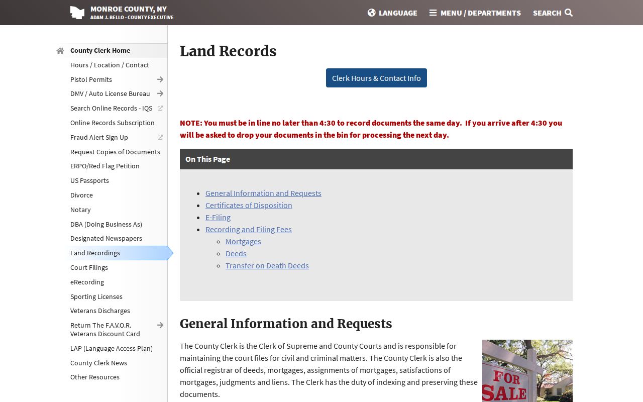
The deed trail is about legal conveyance, so a name in an instrument should be dated and paired with the parcel or legal description before it is used as an address-history finding.
Perinton Street Permit History
Perinton launched its GovWell building-permit system on March 26, 2025. The Town says the system supports permit applications, corrections, inspector notes, payments, inspections, progress tracking, and final completion certificates. It also advertises permit history from 1988 forward. A permit can anchor a building event to an address, such as work or an inspection, but it does not establish a complete occupant history.
Start at the Building and Codes Department for the portal and staff route. Where a record is not available online, ask the department or submit a focused Town FOIL request for an existing address-specific record. Owner and complainant names can be limited by privacy or investigatory rules, so retain the permit type, status, and date rather than assuming all related names will be released.
Perinton Street Files and Numbers
The Town Historian keeps files organized by street and ownership, alongside census, cemetery, obituary, map, newspaper, photo, and genealogy material. Call 585-223-0770 extension 1125 before visiting, because office mornings vary. That local file is often the strongest fallback when a street name is old, a directory is incomplete, or a house has a story not represented by a modern parcel screen.
For a dated printed lead, the 1885 Monroe County directory lists householders, places, and town officers. The Rochester city-directory collection begins in 1827, while local historical holdings include business and residential directories from 1864 to 1966. Those sources should be treated as historical snapshots. They help connect a surname and date to a street but do not create a current resident list.
Rochester underwent address renumbering in 1884 and 1885. That warning matters only when a Rochester-number context appears in an older source. Do not transfer an old Rochester number to a Perinton street without checking municipality, street, family, and year. The Historian, Fairport Library, and Historical Society provide the in-person and reference routes for that verification.
Perinton Street Records Coverage
A Perinton street directory is a route through address-keyed sources, each with its own date range and access method. The table keeps the records separate so a property owner, historical directory occupant, and permit party are not silently treated as the same person.
| Address record | Local coverage found | Useful fields | Access channel |
|---|---|---|---|
| Final assessment roll | 2019-2026 visible | Parcel, situs, mailing, class, assessment | Town page, office, County portal |
| County property report | 2025 sample roll, sales depth varies | Parcel, building, sales, book and page | Online report where available |
| Clerk deed index | 1975 or 1984 digital cutoff conflict | Parties, date, legal description | Index, terminals, phone, fax, mail |
| GovWell permits | Advertised 1988-present history | Address, permit, inspection, certificate | Portal, department, focused FOIL |
| Directories | Rochester 1827 onward; local 1864-1966 | Dated street and household clue | Libraries, Historian, Society |
| Local newspapers | Fairport Herald 1873-1925; County Mail 1885-1979 | Notices, obituaries, event clues | Library collections and staff |
| Sanborn and census | Fairport maps 1885-1924; census release rule | Building or dated household context | Society, Historian, library archives |
For a current property question, use the parcel-to-deed route first. For a past household question, add a directory, newspaper, census, or Historian file with a year. The distinction protects against treating an owner mailing address or a map label as evidence of present occupancy.
Perinton Street Voter Limits
The Monroe County voter lookup is a person-and-address verification form, not a street browse. It requires street number, a selected street name, ZIP, last name, and date of birth. Its documented result categories include voter registration, Election Day polling place, sample ballot, absentee or mail-in ballot status, and elected officials. It does not offer a control to display every voter along a Perinton street.
A voter-file request is a different channel. New York requires an elections purpose, and the Monroe fee sheet lists a $25 data-request fee. Confidential voters and protected fields are excluded. For a historical election question, ask the Board of Elections, library, or Historian whether records for the target year survive rather than using a current no-match as a historical conclusion.
The official voter page is most useful after a person-specific question already has the required fields and a lawful reason for the search.
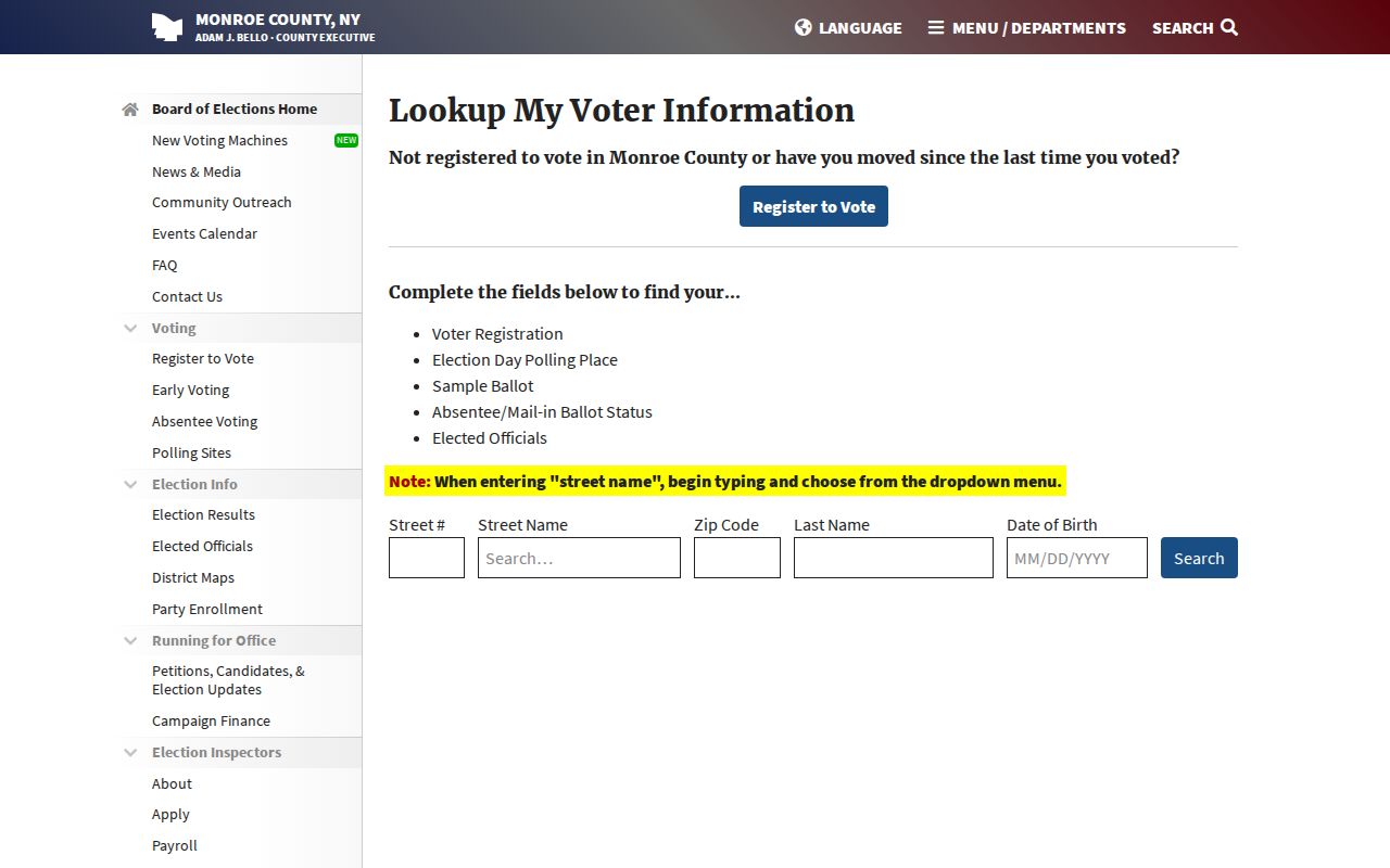
The required form fields show why voter information should remain a narrow verification step rather than a street-wide source of names.
Perinton Street Directory Limits
Public address records cannot identify every person connected with a building. Assessment rolls list tax-related owner and mailing information. Deeds list parties to a conveyance. GIS maps parcels. Voter tools are person-specific. Utility and delivery customer records are not public directories, and DMV address information is restricted. A missing result can reflect a different street format, a recent change, confidentiality, a date limit, or an unavailable record.
- Parcel
- A tax-map identifier used to connect the assessment record, GIS geometry, and land-record research.
- Situs address
- The physical property location, kept separate from a tax mailing address.
- Plat or subdivision map
- A recorded map reference that can help explain lots, splits, or street changes.
- Criss-cross directory
- A dated address-to-name directory section, not a current ownership or household record.
Lawful use. Use Perinton address records for a focused, personal research purpose. Do not use a public record to stalk, harass, threaten, or try to expose a protected address. Verify important details with the record custodian and the record date.